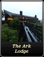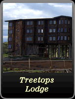
Aberdares National Park
The Aberdares are an isolated volcanic range that forms the eastern wall of the rift valley, running roughly 100km north south between Nairobi and Thomsons Falls. Soils are red and of volcanic origin, but rich in organic matter.
There are two main peaks, Ol Donyo Lesatima (3,999m) and Kinangop (3,906m) separated by a long saddle of alpine moorland at over 3,000m.
The topography is diverse with deep ravines that cut through the forested eastern and western slopes and there are many clear streams and waterfalls.
The Aberdares are an important water catchment area providing water to the Tana and Athi rivers and part of Central Rift and Northern drainage basins. The National Park lies mainly above the tree line running along the 10,000ft contour with some forest and scrub at lower altitude in the salient area near Nyeri with the boundary running down to the 7000ft contour.
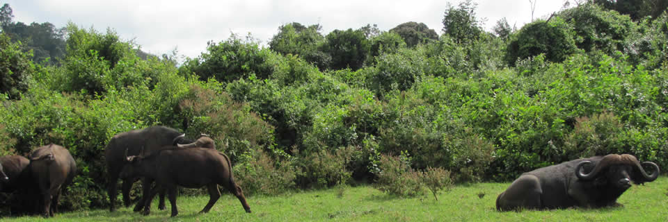
The unusual vegetation, rugged terrain, streams and waterfalls combine to create an area of great scenic beauty in the National Park. The park is surrounded by a predominantly indigenous forest, whose management is under an MoU between KWS and the Forest Department. The park is located in Central highlands, west of Mount Kenya; Nyeri District; Central Province; 766km2.
It is readily accessible on tarmac from Nyeri and Naro Moru on the eastern side (160 kms from Nairobi). A road crosses the park to connect with another from Naivasha and North Kinangop on the west.
The main towns from which the park can be approached are Nyeri (154 km from Nairobi) Nyahururu (188 km from Nairobi) and Naivasha (87 km from Nairobi).
There is the Mweiga Airstrip, next to the park headquarters or Nyeri Airstrip which is 12 km from Mweiga headquarters.